Snow, It's Been Nice. Now, a Substantial Heatwave is Coming
Overview
My friends...
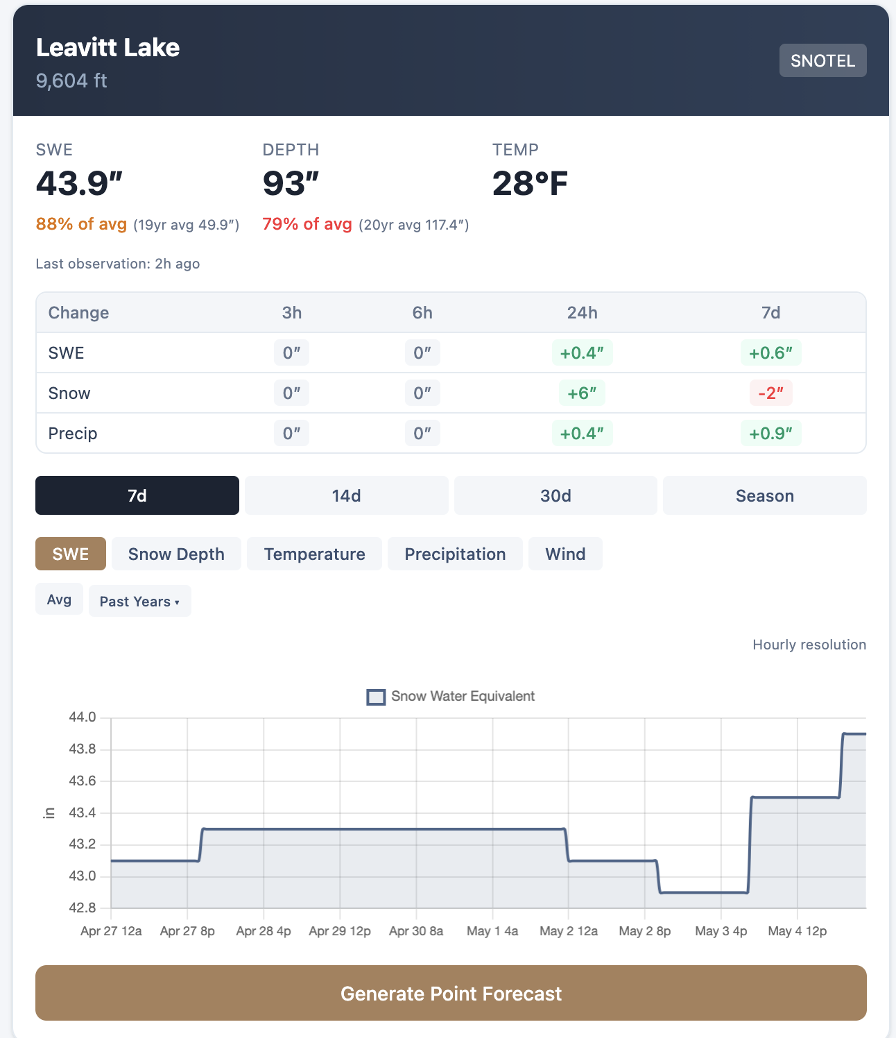
Spring has been kind to us, bringing showers every few days since early April. May also started off with a bit of excitement. Anecdotal observations and sensor data suggest that the Eastern Sierra region received between 1" and 8" of snow thus far, with the region between Yosemite and Hwy 4 scoring the lion's share of the convection yesterday. Leavitt Lake snow sensor showed a 24-hour snow-depth increase of 6" as of this morning. It is now sitting pretty at 44" of SWE, which blows all other regional sensors out of the water!
Here, you can see the 2-day radar replay as of this morning. It shows the bulk of the convection training north of the Mammoth area. Mammoth Mountain Ski Area reported 1-3" of snow as of this morning, with more falling shortly after the report.
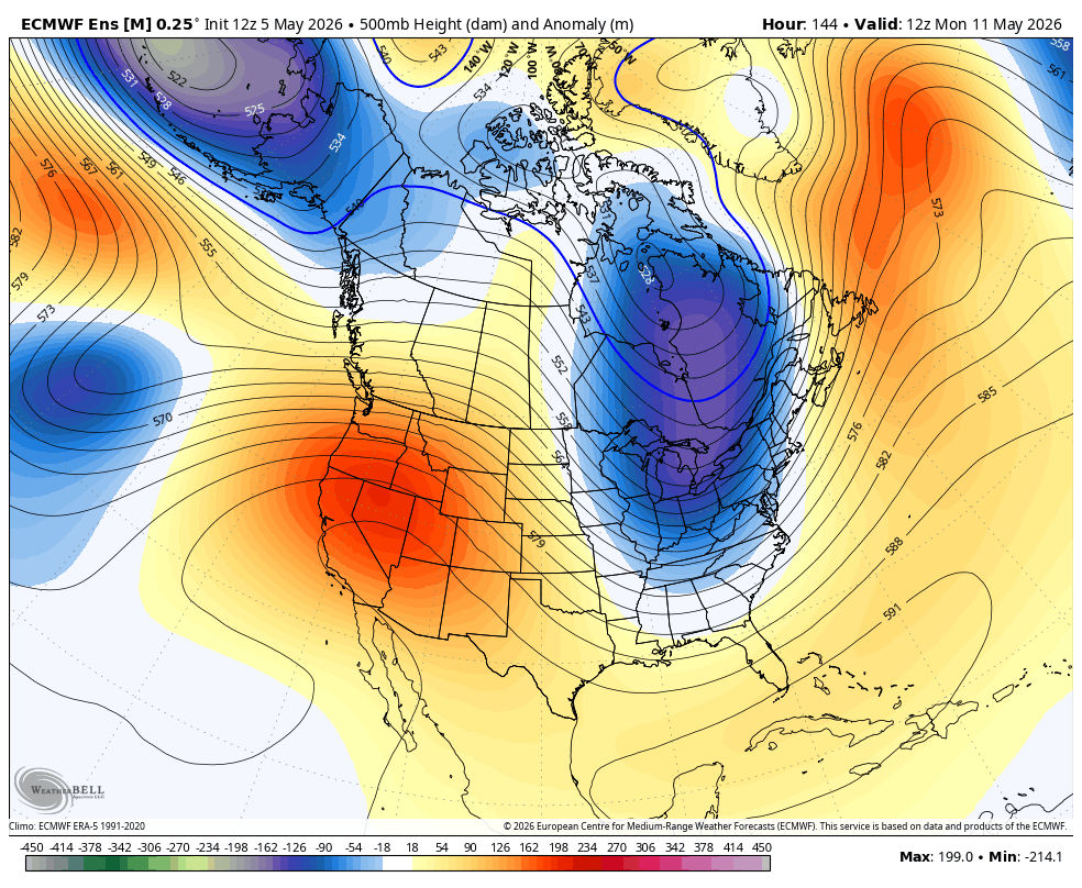
Now, a major pattern change is coming, with a substantial heatwave set to build in. This pattern will last at least several days, and possibly up to a week. There are early indications that, by the middle of May, another offshore trough may build in, leading to convectively driven showers and thunderstorms with very high snow levels. Time will tell.
Heatwave
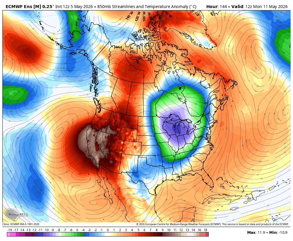
All good things must come to an end. Our long-lived pattern of showers every few days is giving way to a more significant warmup. High pressure from the Gulf of Alaska will work its way over the Southwest, eventually parking itself over northern CA/NV by next Monday. This looks like a relatively high-amplitude ridge, and should result in temperatures nearly 10-20F above seasonal norms. That means Bishop is likely to see highs in the low to mid 90s, and Mammoth Mountain's summit may go 5–7 days with poor or only superficial overnight refreeze due to warm air aloft and high freezing levels under the ridge. While Mammoth Mountain is still on winter operating hours for this week, that will come to a grinding halt as these warm temps kick in.
While clear skies will allow for a superficial refreeze, it will give way to slop rather quickly as daytime heating kicks in.
This heatwave will last for some time, but there are early indications it could back off slightly by the middle of May.
Longer range... Another offshore trough?
Longer range, the pattern is less certain. However, by the following weekend (5/15-17), some models do show a diffuse signal for another offshore trough to build in. With weaker midlatitude dynamics this time of year, this trough would be more likely to produce convectively driven mountain showers and thunderstorms with very high snow levels.
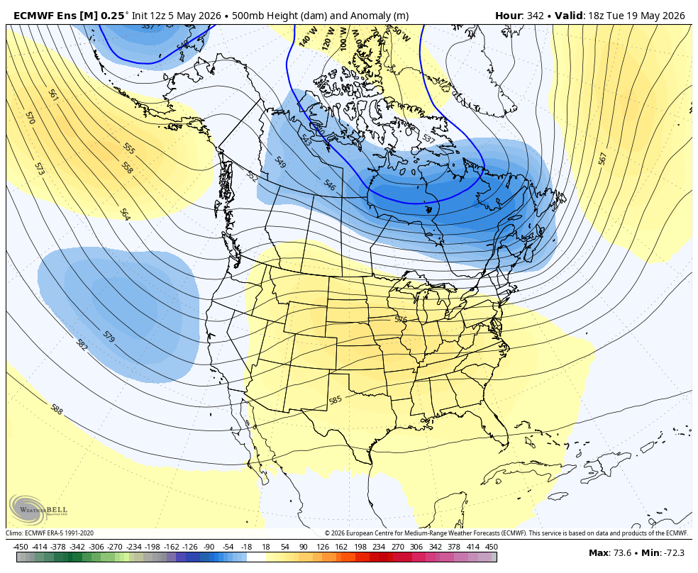
We'll have to wait and see how this signal evolves, because it is not a particularly strong one at the current moment.