Great Storm! Thank You Ullr! Cooler Temps This Week, Storm Chances Next Week
Overview
My friends...
What a great storm! The snow quality was exceptional, and the riding was great. We performed pretty much in the middle of the anticipated range for snowfall. If only that had happened once in March, things might not have been so miserable! Hah! We will remain cooler this week as a trough passes to our north on Thursday, with storm chances building into next week.
Storm Recap
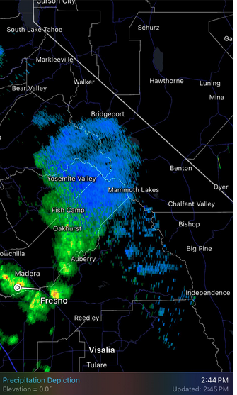
Friday's showers brought convectively driven snowfall to the Sierra Crest, mostly in the evening. This resulted in 4" reported at Mammoth Mtn, while I was expecting a range of 1-5" in the Eastern Sierra region. Local observations suggest that most of the Sierra Crest saw somewhere in that range from Friday's showers.
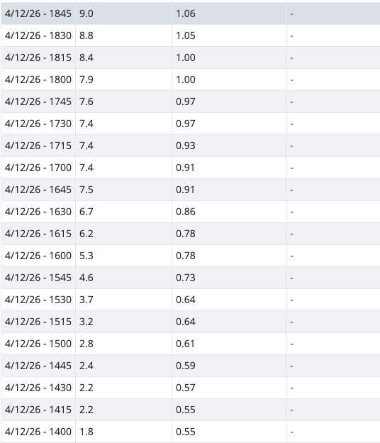
The frontal passage Saturday night brought a quick burst of heavy snowfall. By yesterday morning, the mountain was reporting 12" of snowfall, most of which fell between midnight and 4am Sunday morning.
Yesterday, a particularly excellent band of convection set up over the Mammoth area between 2PM and 6PM, bringing an additional 9" of snowfall.
What was impressive about these showers is that we managed to crack 3"/hr snowfall rates, which is generally considered quite strong!
The general trend for the precipitation totals with this storm was that they increased northward toward Tahoe, and decreased southward towards the Southern Sierra.
While visibility started to deteriorate around this time, the riding was generally excellent all day. Wind gusts did come in around 70mph, but it was nothing out of the ordinary by our standards.
Cooler Week Ahead
Today will feature weak and scattered convectively driven showers, resulting in small localized accumulations, mostly south of Mammoth.
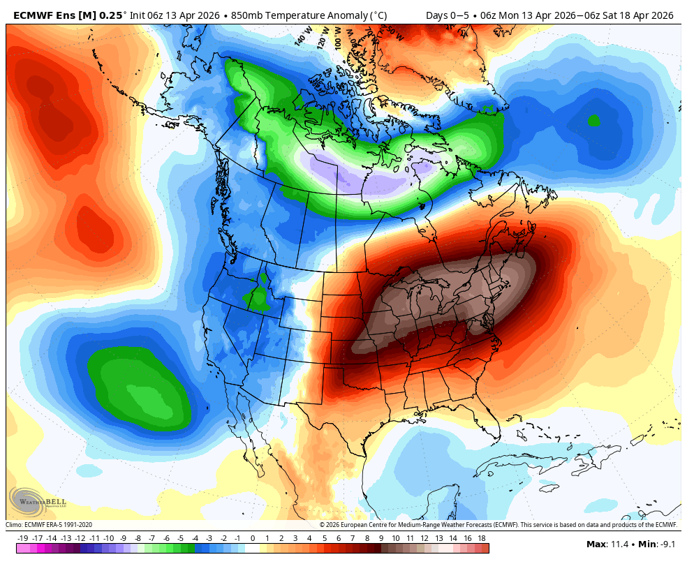
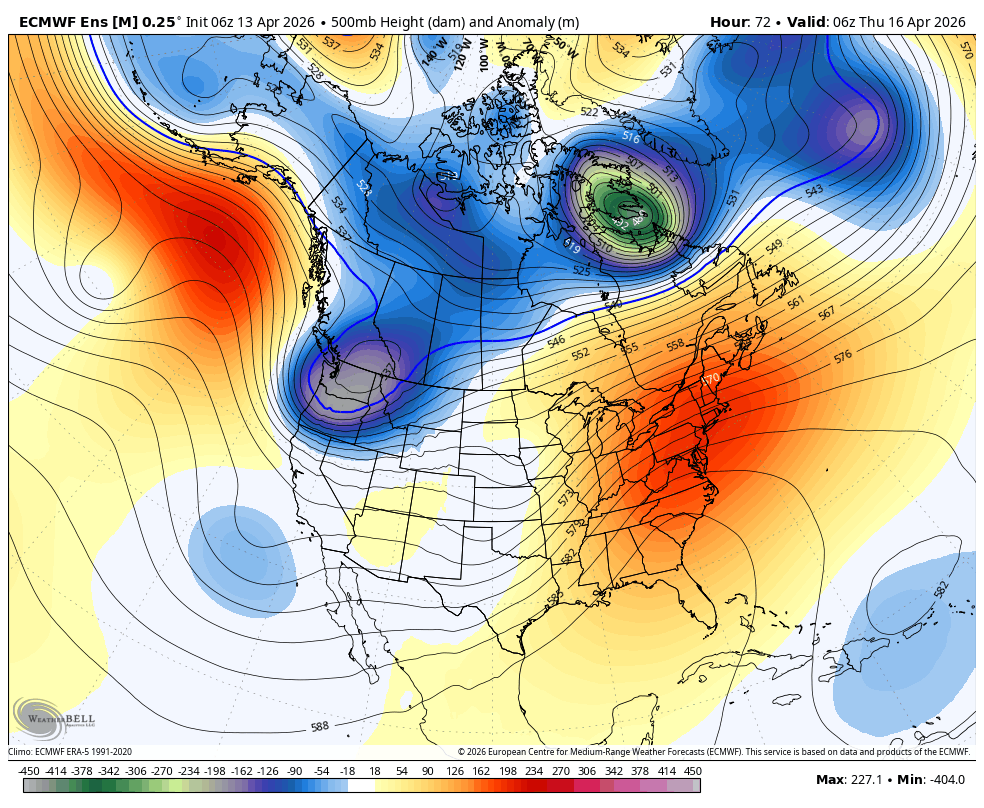
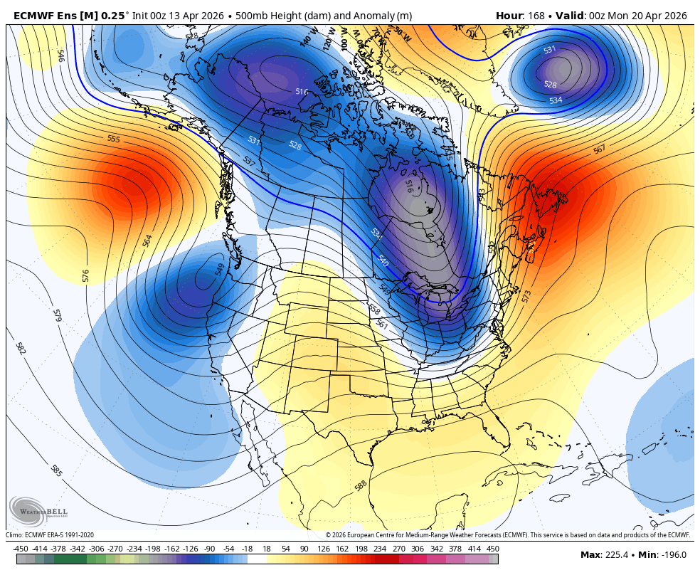
A cooler week of below average temps is on tap, brought in by our storm and continued by a passing trough to our north.
This passing trough will bring a small chance for very weak showers over the Sierra, but nothing convincing. It will also bring stronger winds, reaching as high as 50mph Thursday over ridgetops.
Longer Range Storm Chances
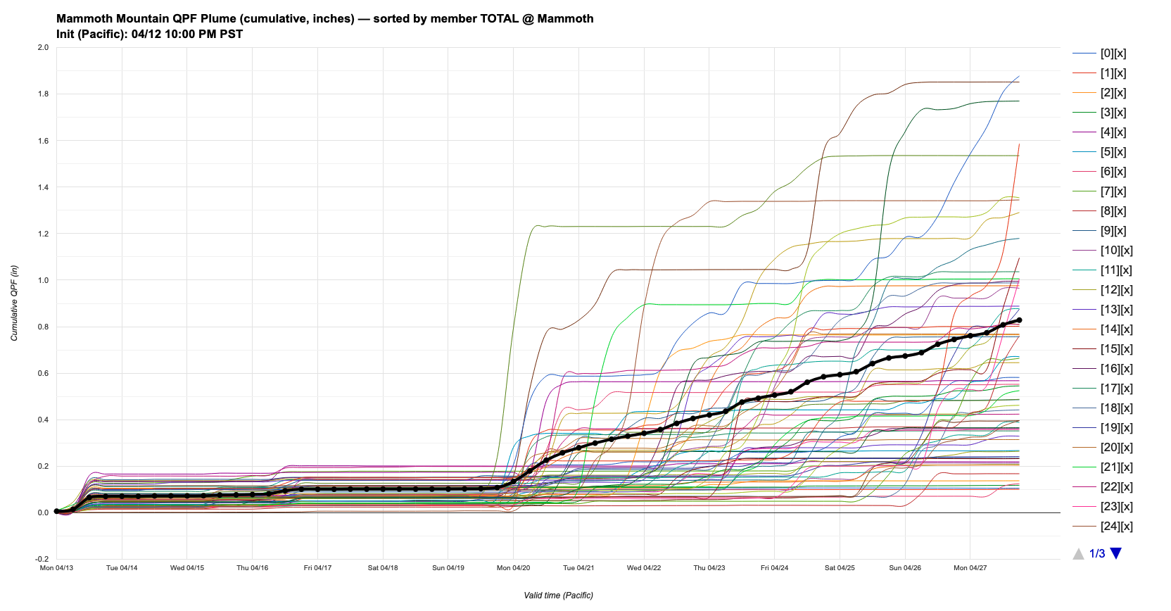
Looking ahead into the longer range, many models are showing increasing storm chances for our region beginning Sunday night into Monday, April 20th.
I should note that not all models and ensemble members are bought into this bringing us meaningful precipitation at this time, but the signal is there to track again! Taking a look at the DeepMind plume shows a general trend for precipitation chances to increase around that time frame, but with little agreement on how much and exact timing.
Either way, I'm not complaining as these cooler temps will keep our season going longer and longer! Hopefully we can get some more storms, because that was so good for my soul and much needed!