Showers Next Week. And Then, A Spring Transition?
Overview
My friends...
Our showery pattern is on its way out today, with a warmup expected through this weekend. By Saturday, another trough starts to stall off the coast, bringing several days with more showers, which look to be confined mainly to the Sierra Nevada. This trough eventually pushes inland, with ensembles hinting at a more robust warmup and longer term dry-spell.
Warmup, then showers next week
Today appears to be our last day of scattered showers, as high pressure slowly pinches off at the relatively persistent period of troughing we have been experiencing.
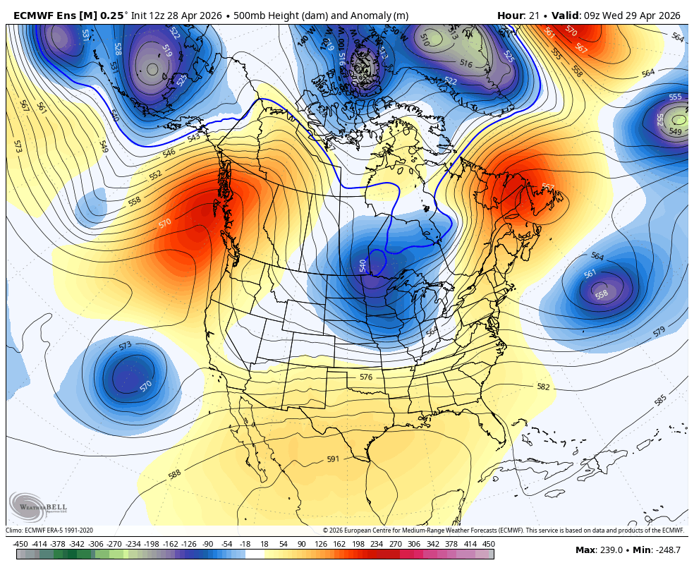
This will lead to a warmup above seasonal norms through the weekend. However, by next Saturday another trough begins to build in and stall off the coast of CA yet again.
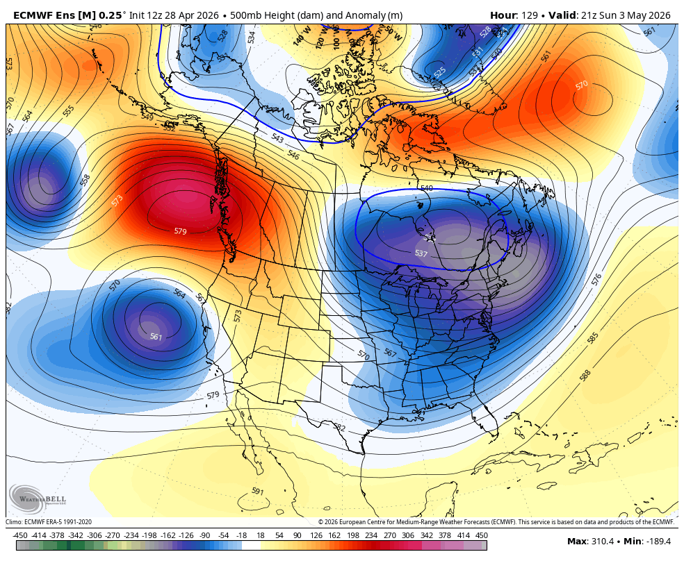
This trough will sit off the coast for several days, bringing showers, which look to be mostly confined to the Sierra Nevada at this time. Showers could begin by Sunday morning and last until the trough ejects eastward next Wednesday. None of it is in the 5-day range yet, so it's too soon to discuss snow totals. At this time, accumulations look pretty weak, but it is shaping up to be another period of unsettled and cooler weather.
Going Dry?
After this, it might finally be time for us to go dry. And with May just around the corner, it could mark a transition into a sustained spring and summer-like pattern.
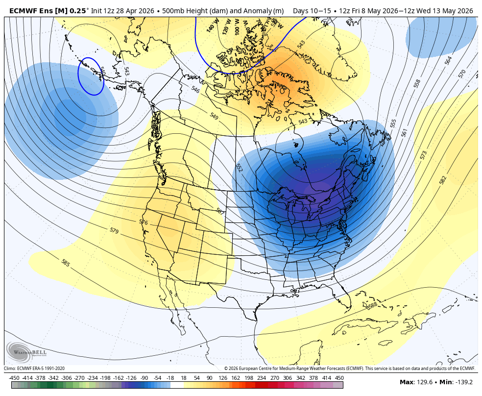
Ensembles show an extended period of high pressure at the 10-15 day range. This is more of a signal than they have shown at this range for quite some time, and I believe that a shift to sustained drier and warmer weather is imminent. It was fun while it lasted!
I will continue to watch the pattern and update periodically.