A September Dusting For High Peaks! And, A Dome Fire Update
Overview
My friends...
There's no better indication that winter is fast approaching than a dusting of snow for our highest peaks! And that's exactly what's in store for us this Monday, September 21st, as a weak shortwave trough moves over California, bringing scattered thunderstorms primarily along the Southern Sierra Crest and snow levels above 11,000 feet. After this, beautiful and stable fall weather returns, which could lead to an uptick in activity on the Dome Fire. Longer range, warm fall weather is favored.
A Dusting of Snow!
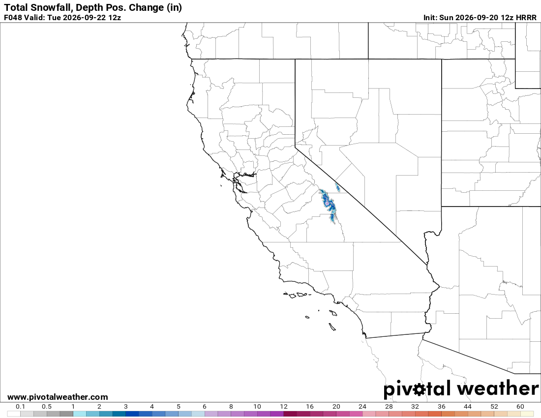
A weak shortwave trough this Monday will trigger thunderstorms and bring in just enough cold air for snow above 11k feet.
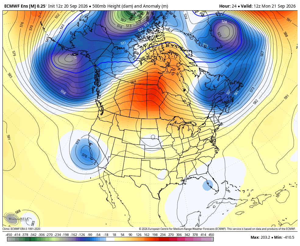
Beginning tomorrow around 1pm, thunderstorm coverage should begin increasing, primarily along the Sierra Crest south of Mammoth, but areas to the north could see scattered thunderstorms as well, along with the Inyo and White Mountains. Scattered showers will linger until later on Monday before the weather clears out for Tuesday.
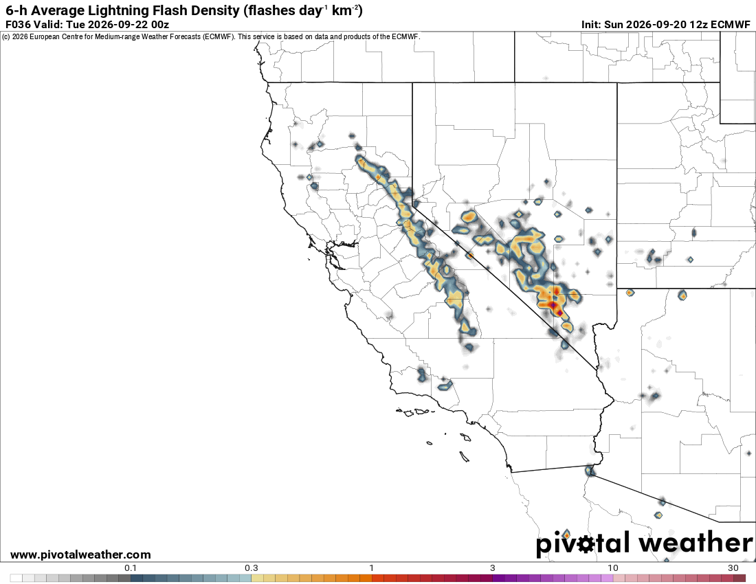
Isolated totals up to 5" of snow are possible at the highest peaks, while most areas will see much less than that. Precipitation below 11,000 feet will fall primarily as rain.
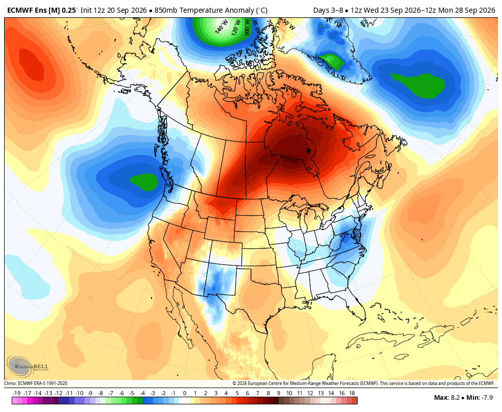
After this, high pressure returns and above-average temps are favored for the foreseeable future. Models have been showing this in the extended range for a while now, and we've had several troughs appear in the shorter range, so we'll have to see if this pattern sticks. Things can change fast this time of year!
Dome Fire
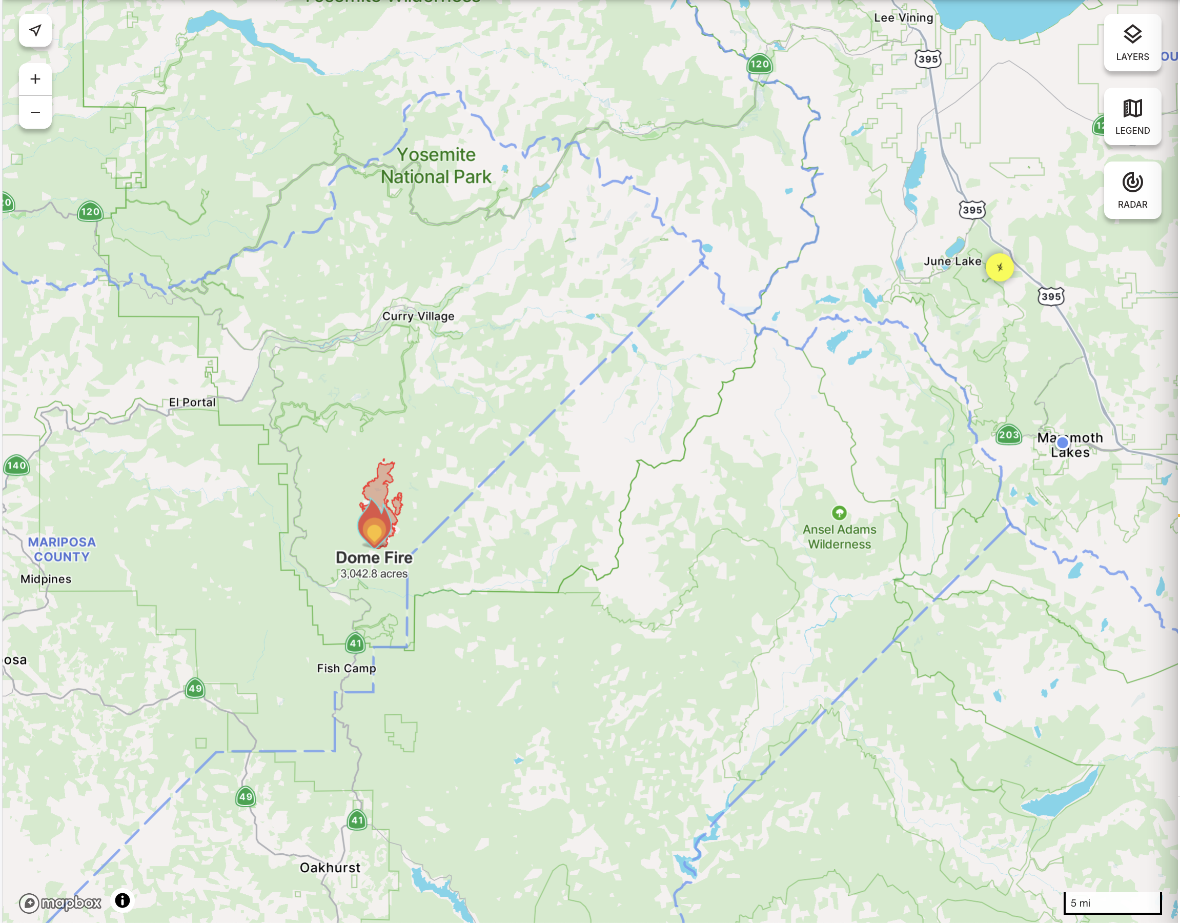
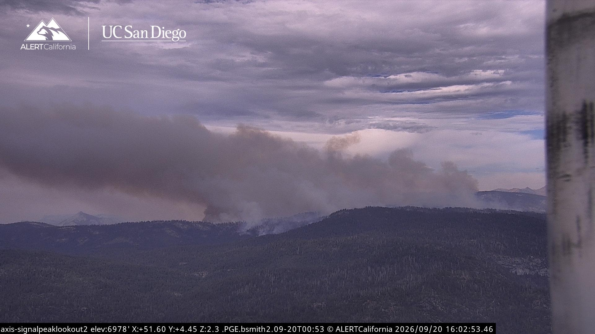
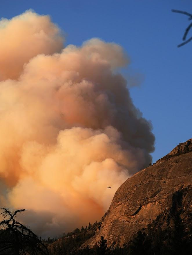
The Dome Fire, which is burning roughly 30 miles west of Mammoth Lakes, is now at 3,042 acres and 15% containment. The weather over recent days has moderated its spread, with cloud cover and inversions lingering into the morning. As high pressure returns later this week, we could see an uptick in activity and more smoke impacts on the Eastside, but we'll have to watch closely and hope for good news!